
Gallery
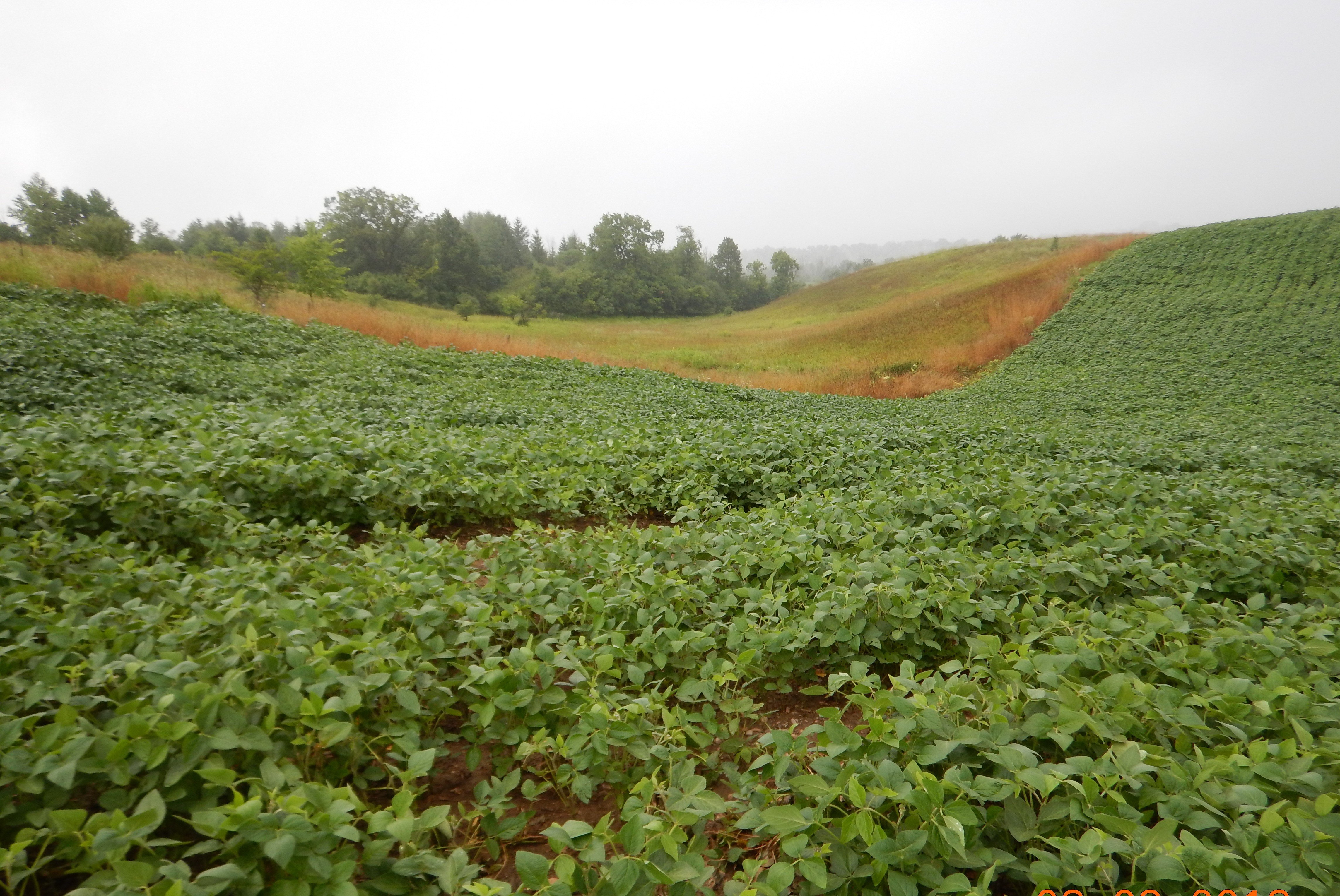
Common field crop production on steeply sloping lands.
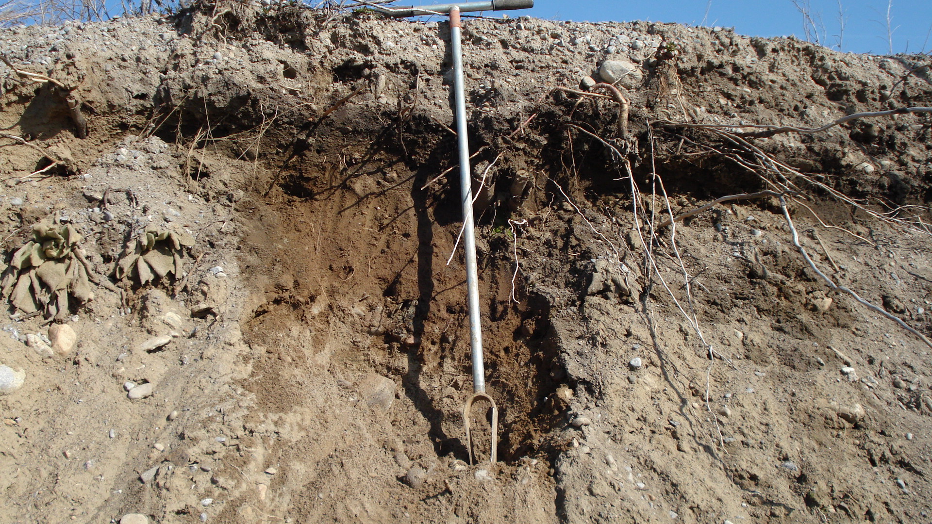
Ditch bank cut illustrating the depth of soil horizons.
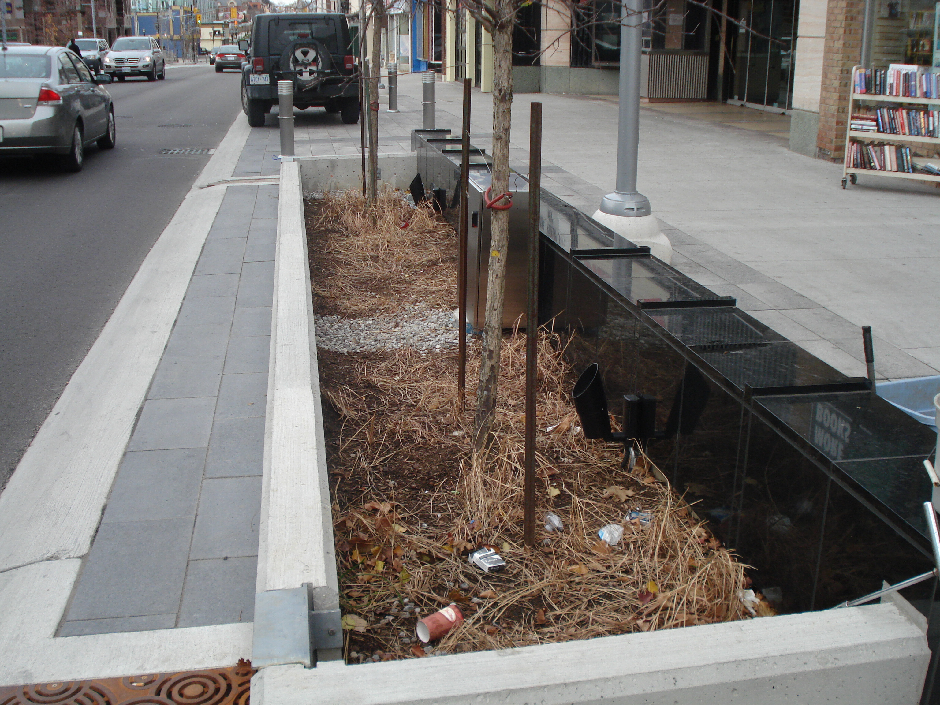
Engineered soil cell in urban landscape.

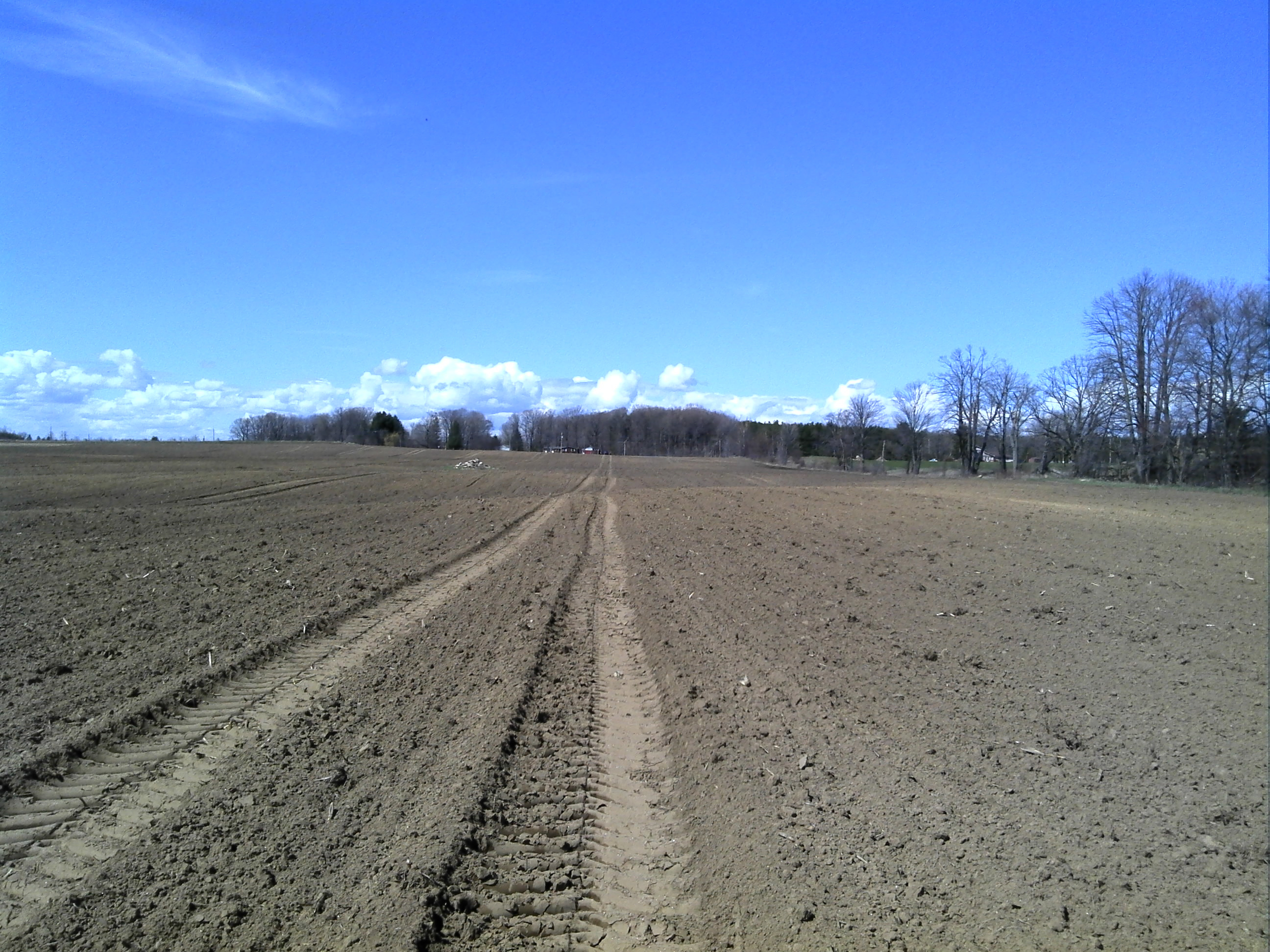
Agricultural field assessment.
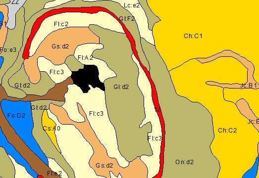
Geographic Information System (GIS) Assessments - Mount Nemo, Region of Halton.
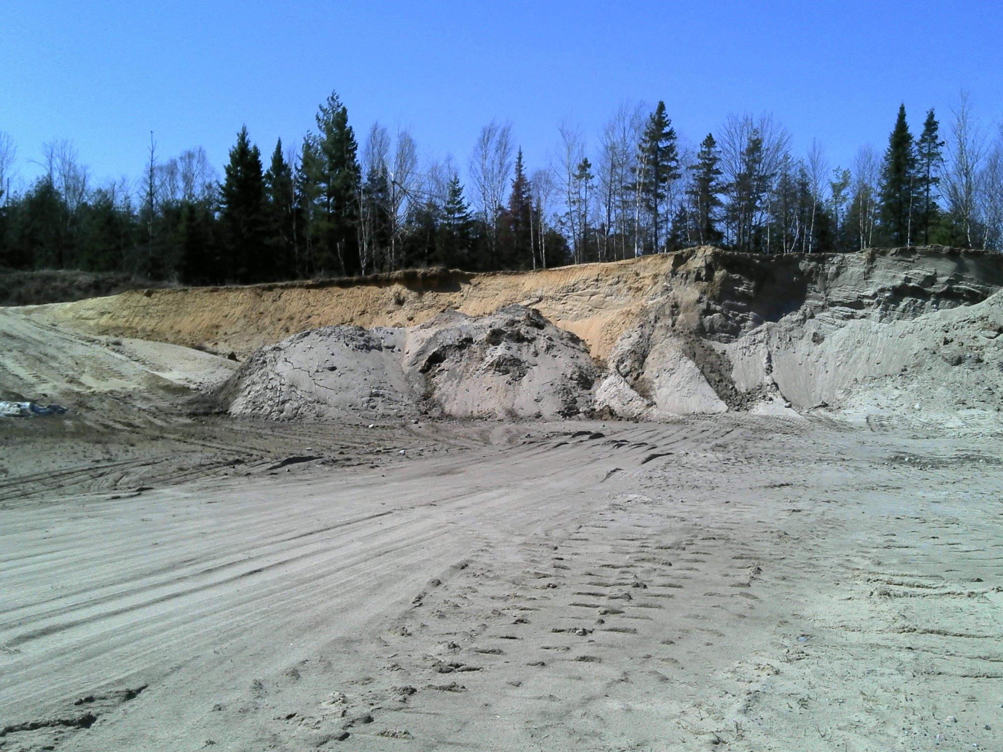
Pit face and soil horizon assessment in sand pit
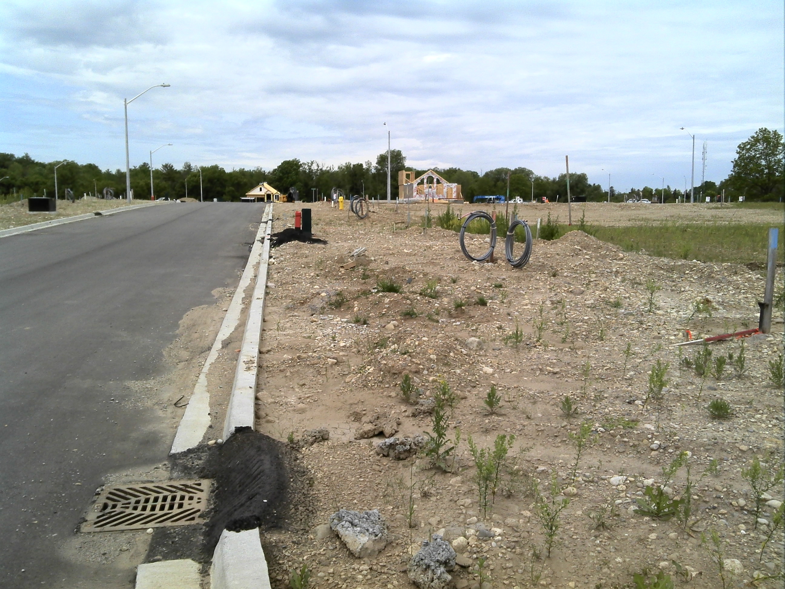
Urban soil assessment - boulevard areas in new subdivision.
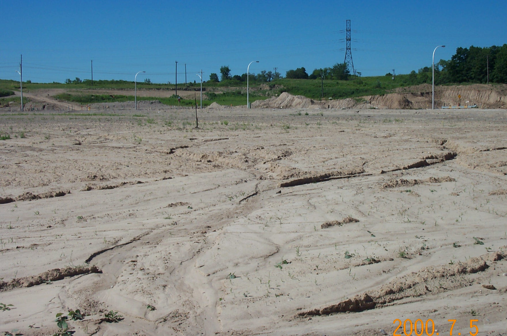
Urban soil erosion - new subdivision.
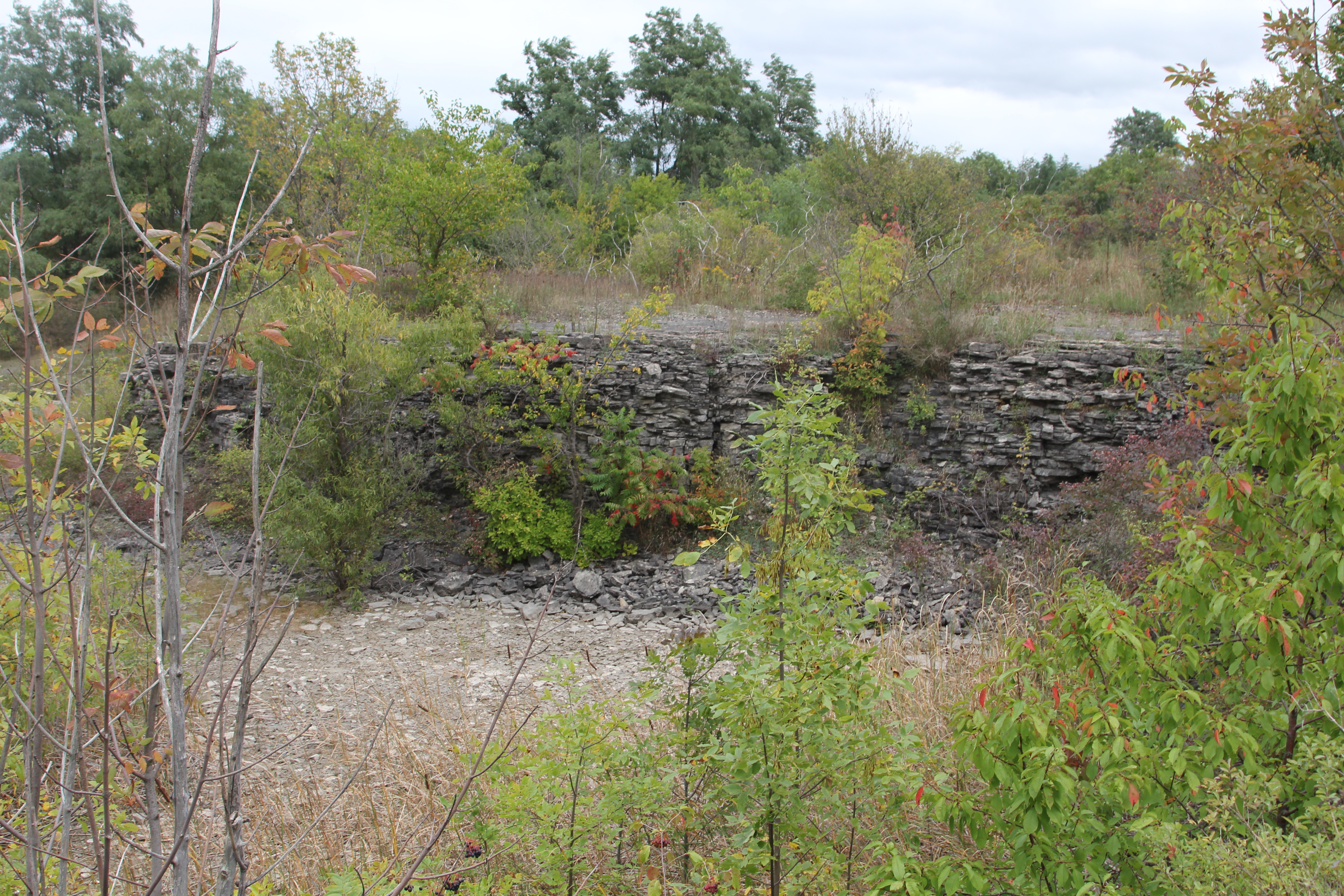
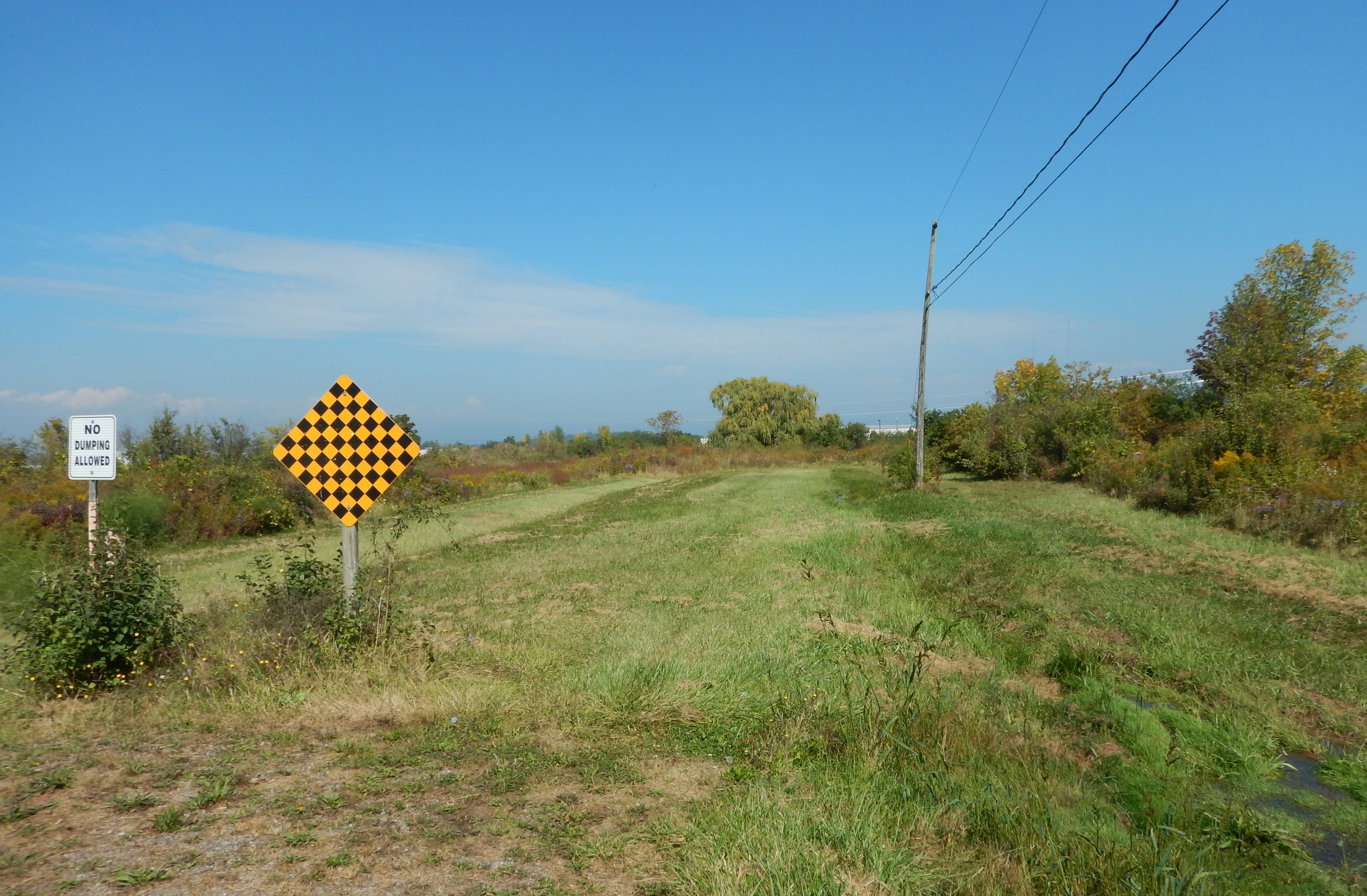
Abandoned quarry lands.
High capability agricultural lands.

Agricultural facility and land assessment.

Stony and steeply sloping lower capability lands.
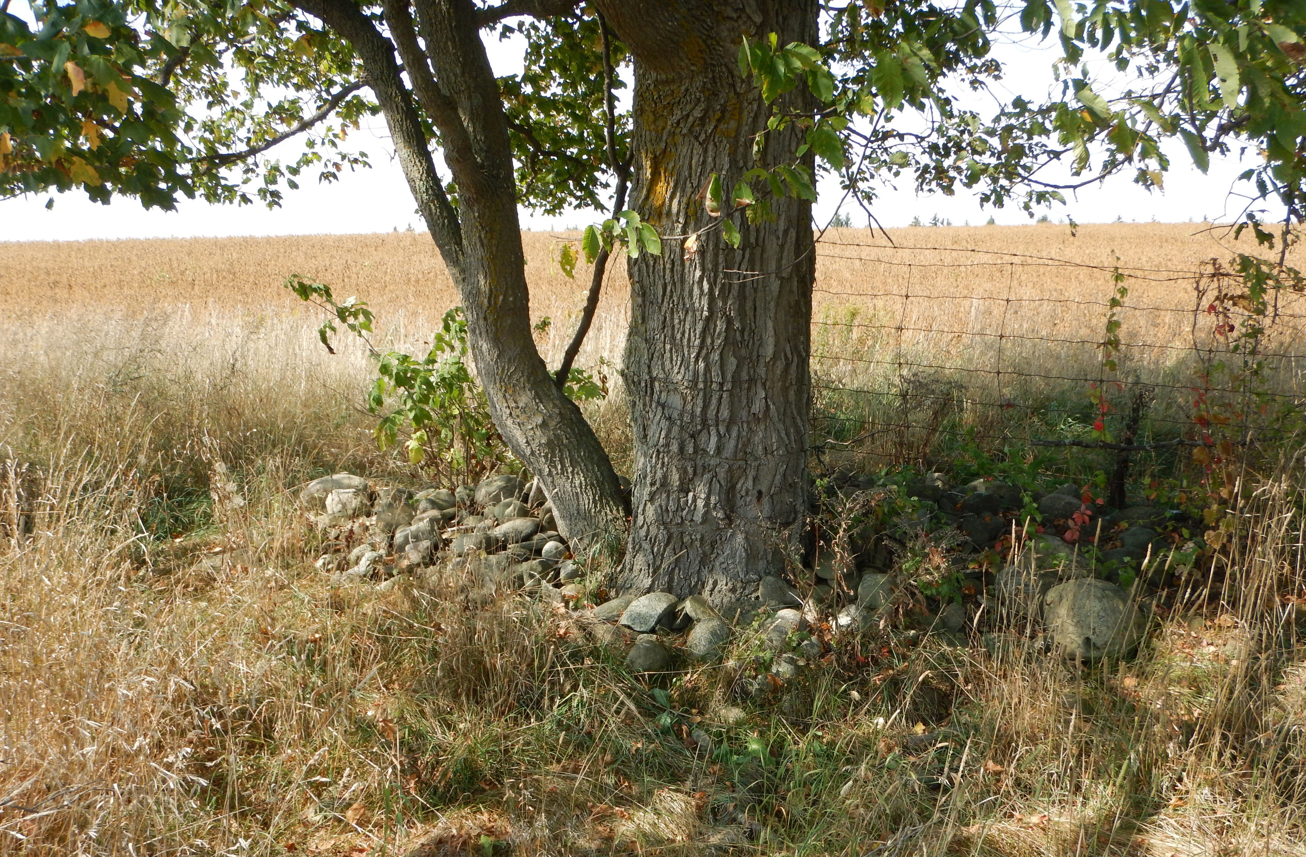
Fence/tree row with stone pile.
Specialty crop lands in urban setting.
Common field crop production on steeply sloping lands.
Ditch bank cut illustrating the depth of soil horizons.